Roque del Oeste
Appearance
| Geography | |
|---|---|
| Archipelago | Chinijo Archipelago |
| Area | 0.02 km2 (0.0077 sq mi) |
| Highest elevation | 41 m (135 ft) |
| Administration | |
| Autonomous Community | Canary Islands |
| Province | Las Palmas |
| Municipality | Teguise |
| Demographics | |
| Population | 0 (2013) |
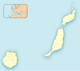
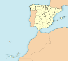
Roque del Oeste (pronounced [ˈroke ðel oˈeste]; Spanish for "rock of the west"), also referred to as Roque del Infierno, is an uninhabited islet located 0.6 km northeast of the island of Montaña Clara, in the northeasternmost part of the Canary Islands, the Chinijo Archipelago. The highest point of the island is 41 m above sea level. The island is part of the nature reserve Los Islotes, which is part of the natural park Chinijo Archipelago.[1][2]
See also
[edit]References
[edit]- ^ Protected Natural Areas Archived 2010-02-12 at the Wayback Machine
- ^ Boletín Oficial de Canarias, pages 9723 and 9865-7
29°18′40″N 13°31′37″W / 29.311°N 13.527°W


